

01
GIS data conversion
Bring existing records into a usable spatial format.

Put your project data on the map. Make it easier to use.
Bring survey records, CAD drawings and asset information into a consistent geographic framework. Professionals Arabia, based in Riyadh, supports GIS mapping and spatial data requirements for construction, infrastructure and asset projects across Saudi Arabia.
GIS links locations with information about the features at those locations. A road, building, utility asset or project boundary can carry attributes such as an identifier, type, status or inspection date. Organized layers help teams find records, compare conditions and prepare maps for project decisions.
Useful GIS starts with a defined purpose and reliable source data. We help establish the project area, required layers, coordinate reference system and attribute structure before preparing the agreed outputs. Existing records can be organized for GIS; missing or uncertain information is identified for review or separately scoped field verification.
Select a service to see its purpose and typical outputs. Data sources, coverage and deliverables are agreed for your project.
Bring existing records into a usable spatial format.
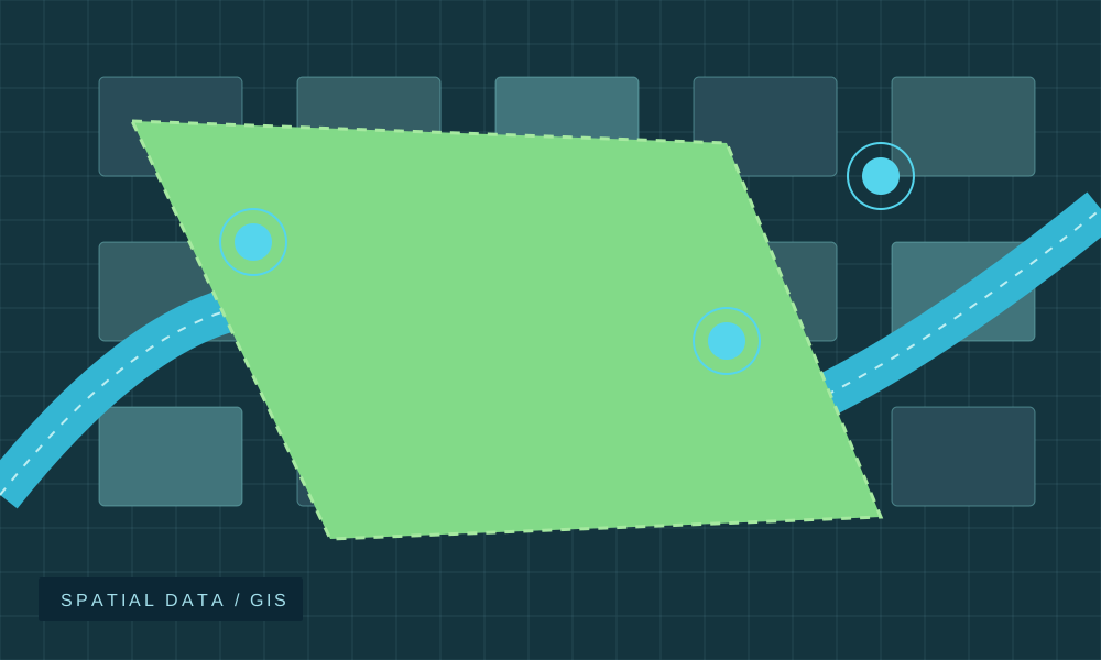
Give project layers a consistent structure.
Connect asset locations with the records behind them.
Examine patterns across the project area.
Make the information easier to interpret.
Keep records consistent as the project changes.
Bring existing records into a usable spatial format.
Convert agreed CAD drawings, coordinate tables and other suitable records into GIS layers. Map the source fields to the required attributes and retain source references for review.
Bringing existing project records into a GIS workflow.
Converted layers, mapped attributes and a record of source limitations.
Scope note: Conversion does not improve the positional accuracy of the original data by itself.
Agree the dataset structure and receiving software before work starts. The final package reflects the selected service scope.
| Deliverable | What to specify | Format |
|---|---|---|
| Spatial layers | Define coverage, geometry type, layer names and coordinate reference. | GeoPackage, geodatabase or another agreed compatible format. |
| Attribute data | Define identifiers, required fields, value lists and links to records. | dataset attributes and agreed tables. |
| Maps | Define scale, extent, symbology, labels and page size. | PDF or agreed digital map output. |
| Documentation | Define metadata, source references, data dictionary, review checks and update history. | agreed handover documents. |
Confirm coordinate reference, units, transformation requirements, source dates and acceptance criteria. Data accuracy and suitability remain linked to the quality and purpose of the source records.
GIS delivery combines source review, spatial preparation and checks against an agreed data model. The method depends on the source formats, project area and intended use.
Check file availability, coverage, revision, coordinate information and permitted use.
Organize geometry, references and layer structure for the target workflow.
Review required fields, identifiers and agreed relationships between records.
Check the package against the defined delivery format and document unresolved items.
Specific software, hosting arrangements and system integration requirements are confirmed for the assignment.
Confirm the project area, intended use, source records and receiving system.
Agree layers, attributes, references and output formats.
Convert, organize or update the data within the agreed scope.
Apply the agreed checks and identify items needing clarification.
Provide the files, metadata and change notes needed for handover.

Coordinate GIS requirements with surveying, utility documentation and CAD services where the project needs them.
Define how locations, attributes and source references will be organized before preparing the dataset.
Discuss the receiving team's software, required files and update responsibilities early in the assignment.

Organized asset layers, route records and project boundaries.
Site information, drawing conversion and coordination maps.
Spatial asset registers and location-based maintenance records.
Property locations, site layers and consistent records across multiple sites.
Cost and delivery time depend on the project extent, source quality, number of layers, attribute requirements and review effort. Share a sample dataset so the scope can be assessed.
Discuss your GIS projectCAD typically represents design or drawing geometry. GIS connects geographic features with structured attributes and supports location-based queries. The right output depends on how your team needs to use the information.
Suitable drawings can be converted within an agreed scope. Coordinate information, layer organization and attribute availability are reviewed first. Conversion alone does not verify the drawing against current site conditions.
Survey points, drawings and asset tables can form inputs to a GIS dataset. Share sample files so their reference system, completeness and required preparation can be assessed.
Agree the receiving software and format before preparation. GeoPackage, geodatabase and other compatible outputs may be specified according to the project requirements and available workflow.
No. GIS organizes the information provided or collected under a defined scope. Locating buried services requires separate utility detection and appropriate verification.
Updates can be scoped around your current structure and approved source information. Provide the existing schema, update rules and access arrangements so compatibility and review requirements can be checked.
Tell us what users need to view, edit or query. Web publishing, hosting, licensing and application integration require a separately defined technical scope and availability confirmation.
The fee depends on data volume, source condition, analysis requirements and deliverables. Send the coverage, sample files and brief for a project-specific proposal.
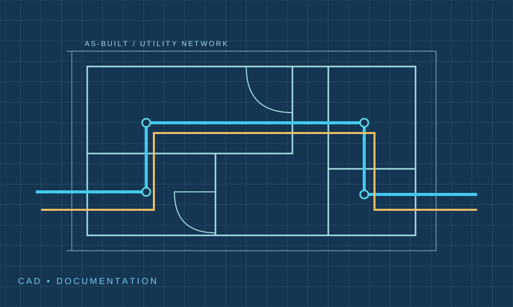
Prepare utility drawing records for the project documentation workflow.
Explore serviceDefine a separate scope for buried-service information and detection.
Explore service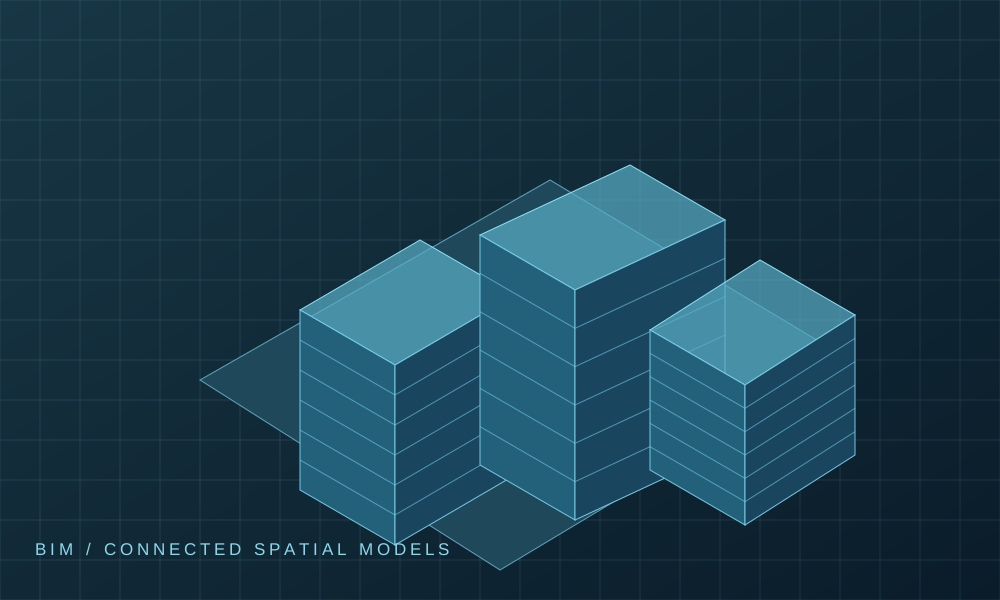
Discuss specialist model and imagery requirements.
Explore serviceShare the project area, available source files and intended outputs. Our team can discuss the preparation required and the next step.
GIS Solutions
Use of personal information is described in our Privacy Policy.