
01
Topographic survey
Map existing conditions before design.
Start with the site.
Build on the right data.
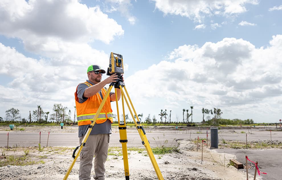
Topographic surveys, construction setting out, boundary measurements and as-built records for design, construction and project handover. Based in Riyadh, Professionals Arabia supports industrial, commercial and infrastructure projects across the Kingdom.
A land survey records the position, elevation and physical features of a site. The information helps project teams assess existing conditions, coordinate layouts and compare completed work with design requirements.
The right scope depends on what you need to decide. A topographic survey supports design; setting out transfers agreed design points to the site; an as-built survey records completed works. We help define the survey boundary, reference system and outputs before field work begins.
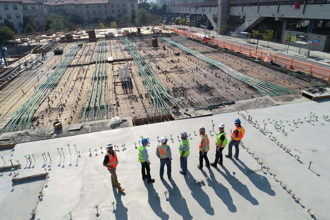
Select a service to see its purpose and typical outputs. The final scope and deliverables are agreed for your project.
Map existing conditions before design.
Measure and document the site boundary.
Transfer design positions to the site.

Record what has been constructed.
Capture detailed existing geometry.

Create reference points for later measurements.
Map existing conditions before design.
Capture ground levels, terrain changes and visible features within an agreed area. This can include buildings, roads, walls and drainage features relevant to the project.
Planning, layout development and site design.
Topographic plan, recorded survey points and levels; contours or surface outputs where specified.
Scope note: Visible features only: locating buried services requires a separate utility detection scope.
Use the quotation to define the data you need, its format and how it will be reviewed. Not every output is included in every survey.
| Deliverable | What to specify | Format |
|---|---|---|
| Survey plans | Existing features, boundary measurements or completed works, according to the selected scope. | CAD / PDF as agreed |
| Coordinates & levels | Point identifiers, reference points, elevations and the stated coordinate/level reference. | Point schedules / agreed data files |
| 3D survey data | Captured geometry and any modeling explicitly included with the scanning service. | Point cloud / agreed model format |
| Survey documentation | Survey extent, method, reference information and relevant access or coverage limitations. | Agreed report / handover notes |
Agree units, coordinate reference, level datum, drawing scale, survey extent and acceptance requirements with the project team. Accuracy requirements are project-specific; no universal tolerance is promised.
Our original service scope includes total stations, GNSS/GPS equipment, levels and 3D laser scanning. Instrument choice depends on access, visibility, positioning conditions and the required output.
Measures angles and distances for detail pickup, site control and setting out.
Supports positioning where satellite reception and the project reference requirements permit.
Supports elevation transfer and checks against the agreed project benchmark.
Captures dense surface geometry for existing-condition records and defined modeling work.
Instrument setup, reference checks and review requirements should be agreed for the assignment. Specific makes, models and availability are confirmed with the team.
Confirm location, survey purpose, extent, access and intended use.
Agree references, method, required detail and deliverables.
Collect the accessible field data within the agreed scope.
Check completeness, point identification and consistency with the agreed reference.
Provide agreed files and explain coverage notes or limitations.
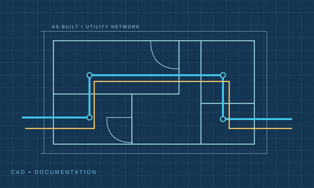
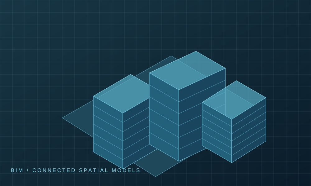
Coordinate surveying with our existing utility mapping, CAD, GIS and BIM services where the project requires them.
Discuss the files, references and level of detail before collection rather than after handover.
Align the assignment with the design, construction or asset information you need to use.
Site layouts, existing conditions and setting-out requirements.
Reference points, surface features and route coordination; utility detection by separate scope.
Existing geometry, level information and modification planning.
Plot information, accessible boundary features and handover records.
Cost and duration depend on area, terrain, accessibility, feature density, control information and the deliverables requested. The team will assess your scope before proposing a schedule or fee.
Discuss your surveyA topographic survey is usually the starting point for recording terrain and existing site features. Boundary information may also be needed. Tell us what the design team needs so the survey extent and outputs can be defined.
Setting out transfers agreed design positions and levels to the site before or during construction. An as-built survey measures completed works to document the actual condition.
These outputs can be included in the agreed survey scope. Confirm the file format, point coding, coordinate reference, level datum and drawing requirements before field work.
A standard topographic survey records accessible surface features. Buried utility detection requires a separate scope, such as GPR or electromagnetic locating, with its own limitations and outputs.
No. The requirements depend on the authority and intended use. Tell us about any official application in advance so the required licensing, documentation and submission arrangements can be confirmed.
It depends on survey area, site conditions, access, control information, required detail and deliverables. Share the location and brief for a project-specific proposal. No fixed rate or completion time is assumed.
Professionals Arabia is based in Riyadh and offers services across Saudi Arabia. Ask the team to confirm mobilization and availability for your project location.
Point-cloud survey data can support BIM work. Define the intended model use, level of detail and file requirements with the team. Modeling is included only when expressly agreed.
Turn defined field records into utility documentation.
Explore service
Share your project location, approximate area and required outputs. We can discuss the survey scope and the next step.
Land Surveying
Use of personal information is described in our Privacy Policy.