
01
Utility records review
Understand what the existing information can tell you.

Understand the buried-service information. Plan the next step with clearer records.
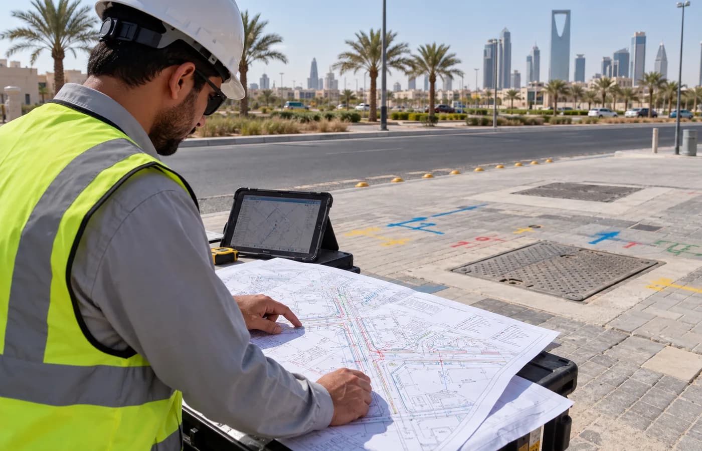
Review existing utility records and investigate detectable buried services within an agreed site area. Professionals Arabia, based in Riyadh, supports underground utility survey requirements for construction, infrastructure and facility projects across Saudi Arabia.
Existing drawings may show expected routes without fully representing current site conditions. An underground utility survey brings available records, visible features and appropriate detection methods together to document the evidence available within a defined area.
The scope should identify the work zone, services of interest, access conditions and outputs needed by the project team. We help define these requirements and record detected features, uncertainties and coverage limitations. Survey findings support planning and further verification; they do not replace the site's authorization, isolation or safe-excavation procedures.
Select a scope to see its purpose and typical outputs. The final method and coverage depend on site conditions, target utilities and agreed project requirements.
Understand what the existing information can tell you.
Investigate subsurface responses within an agreed area.
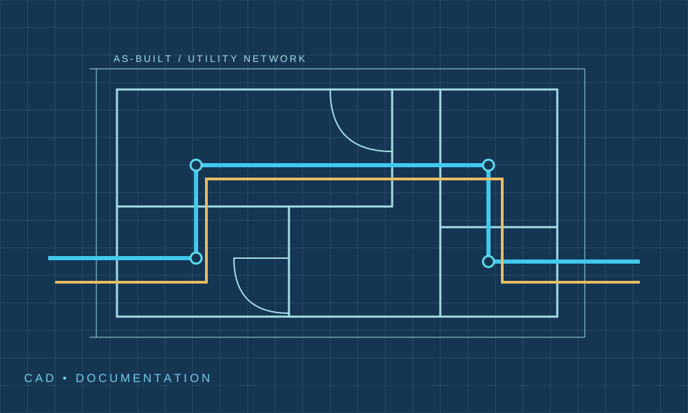
Trace suitable conductive routes and accessible signals.
Make interpreted findings identifiable on site.
Put the evidence and its limitations into usable records.
Identify where more information is needed.
Understand what the existing information can tell you.
Review supplied drawings, asset schedules and available utility information. Identify the survey boundary, expected services and discrepancies requiring investigation.
Survey planning and defining information gaps.
Source register, scope plan and questions for clarification.
Scope note: Supplied records are evidence inputs, not confirmation of current routes or operating status.
Define the required files and evidence records before mobilization. Not every output is included in every survey.
| Deliverable | What to specify | Format |
|---|---|---|
| Utility plans | Specify area, identifiers, route presentation, legend and source status. | CAD or PDF as agreed. |
| Location and depth records | Specify coordinate reference, feature IDs and how estimated depths are reported where obtainable. | Agreed schedules or survey data files. |
| Method and coverage notes | Specify methods, accessible areas, collection date and relevant constraints. | Survey report or handover notes. |
| Follow-up information | Specify unresolved indications, unconfirmed routes and areas needing further verification. | Annotated plan and outstanding-information schedule. |
Agree the reference system, depth convention, evidence categories and acceptance requirements. Survey results describe the evidence obtained on the survey date, not a guarantee that every buried service has been identified.
No single method suits every utility and ground condition. The survey approach is selected around the available information and required outcome.
Compare supplied information with accessible covers, chambers and other visible features. Opening or entering assets is included only with appropriate authorization.
Investigate subsurface reflections and interpret possible features in context. Conductive soils and other site conditions can restrict penetration and clarity.
Trace suitable signals on conductive services or tracer systems, using an appropriate agreed mode.
Relate recorded indications to the project reference using the agreed positioning method.
Equipment, access, signal application and survey extent are confirmed for the assignment. Do not promise universal depth or accuracy.
Confirm the work area, purpose, available records and target services.
Agree access, methods, references, coverage and outputs.
Carry out the accessible field survey within scope.
Compare evidence, document uncertainty and identify follow-up needs.
Provide agreed plans, records and coverage notes.
Coordinate utility investigation with surface surveying and existing records.
Distinguish observed or detected information from assumptions and unconfirmed records.
Agree the plans and notes the receiving project team needs.

Site investigations for design and planned ground works.
Defined route surveys and coordination information.
Investigations around accessible service corridors and plant areas.
Utility information for alterations and external works.
Cost and duration depend on area, access, surface conditions, expected utilities, detection methods and deliverables. Provide drawings or a marked site plan for an assessment.
Discuss your utility surveyNo. Results depend on the ground, target characteristics, depth and access. Suitable methods can be combined, but some services may remain undetected or unconfirmed.
There is no fixed depth applicable to every site. Soil conductivity, moisture, antenna selection and the target affect the result. The achievable investigation is assessed for the assignment.
GPR may identify a suitable response from a non-metallic pipe where conditions permit. Electromagnetic tracing may be possible where a suitable tracer system exists. Neither approach guarantees detection.
Depth indications are method-dependent estimates unless established through a defined verification method. The report should explain the depth convention and relevant limitations.
Share all available records. They help plan and interpret the investigation, but may be incomplete or outdated and do not replace field assessment.
No. Survey findings are one input to the site's planning and authorization process. The responsible team must address owner coordination, permits, isolation and further verification where required.
Specify the drawing format, coordinate reference, attributes and receiving system. CAD plans and GIS datasets can be defined as deliverables, with the source and uncertainty retained.
Exposure, excavation, isolation, diversion and repair are separate activities unless expressly agreed. Their responsibilities and authorizations should be defined before those works proceed.
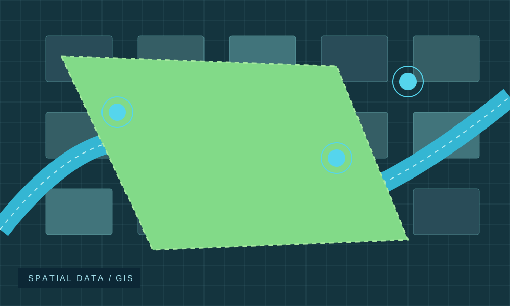
Turn defined field records into utility drawing documentation.
Explore service
Discuss a separate communications installation scope where new connectivity is required.
Explore serviceShare the work boundary, available records and planned activity. Our team can discuss survey coverage, methods and the next step.
Underground Utility Management
Use of personal information is described in our Privacy Policy.